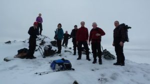
Saturday 11th February 2012
From Dalrigh follow track to Cononish Farm crossing the river by the footbridge and directly up the north ridge of Dubhcraig to the summit. Return by the path down through the ancient woodland close to the Allt Coire Dubhcraig and across the footbridge to meet the track to the car park.
Terrain: Good 4km track as far as footbridge but only faint path on north ridge and descent into Coire Dubhcraig. Mainly grassy with a few rock outcrops near the summit.
Distance: 14 km, duration 7 hrs, total ascent 850m to max ht. 978m.
Start point: Dalrigh Carpark off A82 near Tyndrum. Distance from H’burgh: 38 miles.
OS Map 50 / Explorer 364, grid ref: NN 344292.